PROJECT · AUTONOMOUS SYSTEMS
Chronos.
An autonomous reconnaissance drone that surveys an area on its own, detects people and vehicles, places each of them on a map, and reports what it found, with all perception running onboard.
Why
Small drones are now everywhere, but most still need a pilot watching a video feed. Chronos focuses on the layer that removes that bottleneck: onboard perception and autonomy. The drone turns raw camera images into a clean, de-duplicated map of what is on the ground, with an honest estimate of how certain it is, so that an operator gets information instead of footage.
Applications include search and rescue, site security, infrastructure inspection and situational awareness.
What already works
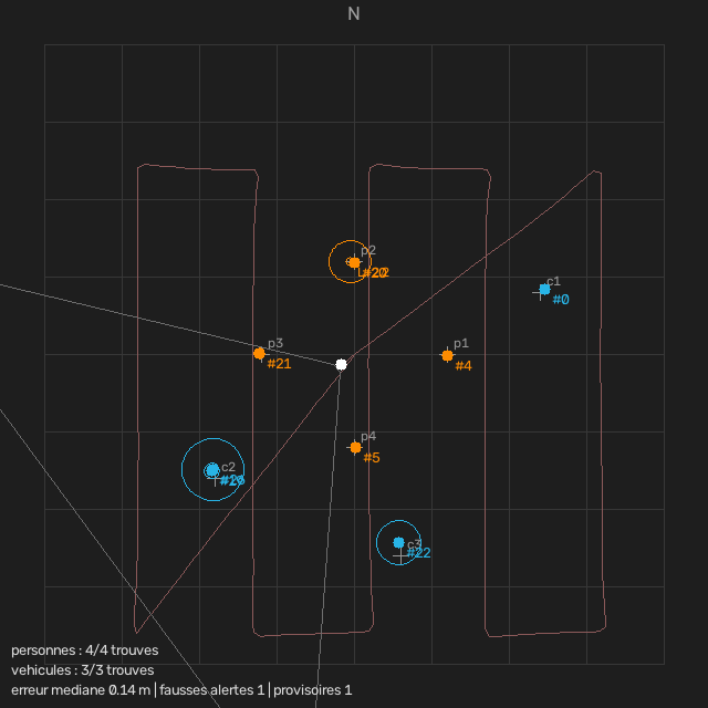
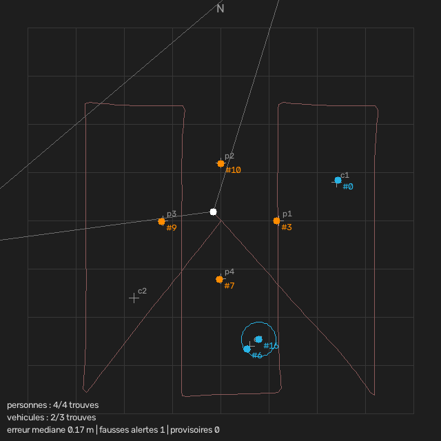
The full perception pipeline runs today in simulation (PX4 autopilot and Gazebo), on a quadcopter flying autonomously.
-
Flight
Autonomous mission
Take-off, stable hover, scan and landing, fully scripted.
-
Perception
Detection and geolocation
Every detection is projected from the camera image to a position on the ground, for any position and attitude of the drone.
-
Mapping
Object registry
Repeated sightings of the same object are fused into a single entry with an uncertainty estimate; false alarms fade out when the drone looks again and sees nothing.
Roadmap
-
Next
Following a moving target
Tracking a moving person or vehicle in the map (position and velocity) and steering the drone and gimbal to keep it in view.
-
Then
Detector for real footage
The simulation detector only proves the pipeline. For real flights: a detector trained on real aerial datasets, then refined on images from our own drone.
-
Then
Physical prototype
Quadcopter with an onboard computer and a stabilised gimbal camera, running the same software as in simulation.
-
Then
Field tests
Real flights on an open test site, measuring detection and positioning accuracy outdoors.
-
Later
Learned navigation
Flying without GPS and through obstacles, with navigation policies trained in simulation.
Support the project
Chronos is moving from simulation to a real prototype. If you can help with equipment, a test site, advice or an introduction, see what the project needs.